How do you pull code violation lists in Wichita, Kansas?
Wichita code enforcement violations are free from the city's public GIS site, gismaps.wichita.gov. Open the MABCD Code Enforcement Violations data page, use its query form to pull cases straight from the city's database, and order by processed date for the newest first.
How do I pull code violations records step by step?
Wichita's code enforcement cases come from MABCD, the Metropolitan Area Building and Construction Department, and are published as a public data layer on the city's GIS site at gismaps.wichita.gov.
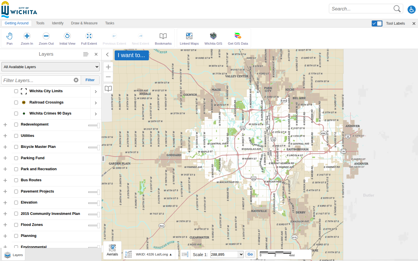
Open Wichita's GIS map viewer
Navigate to the city's map viewer at gismaps.wichita.gov and click I Agree on the disclaimer. This is the City of Wichita's public mapping site; code enforcement cases come from MABCD (the Metropolitan Area Building and Construction Department) and are updated daily.
Open the Code Enforcement Violations data page
Wichita does not list this dataset on a download portal, so go straight to its public data page: Code Enforcement Violations. This plain-text city page describes the layer and links to everything it contains.
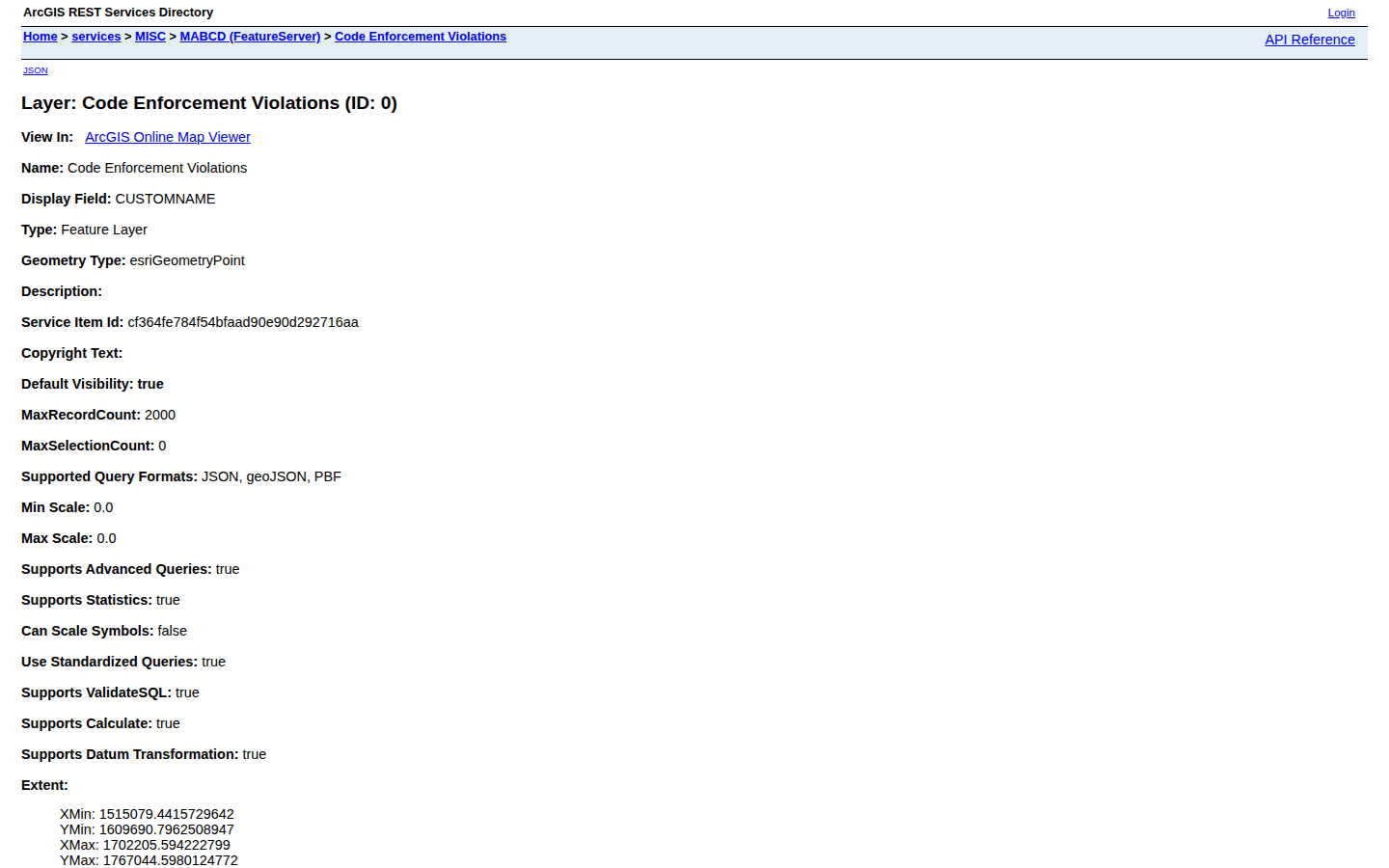
Open the query form
Scroll to the bottom of that page and click Query. A simple form opens that lets you pull records straight from the city's database into your browser.
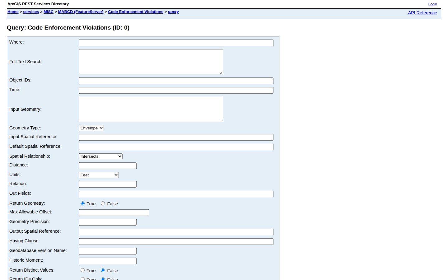
Pull the newest cases
In the Where box type 1=1 (this means show everything), in Out Fields type *, in Order By Fields type ProcessedDate DESC so the newest cases come first, set Format to HTML, then click Query (GET). The results list appears below the form; to narrow to one ZIP code, use a Where like ZipCode='67214'.
Record the data
For each lead, capture the case number, case type, case status, property address, city, ZIP code, parcel ID, and processed date. Use the parcel ID on the Sedgwick County appraiser's site to pull the current owner's name and mailing address.
What property data does Sedgwick County publish?
| Code Violations | gismaps.wichita.gov · ArcGIS · FREE |
Common questions
Live in CountyPull for Sedgwick County right now
| List type | Records | New in 30 days |
|---|---|---|
| Code Violation | 5,729 | 0 |
CountyPull pulls Sedgwick County fresh every morning — cleaned, deduped, skip-trace ready. The free plan includes 100 rows every month.
Get 100 Free Leads →